HYBRID USV/UUV
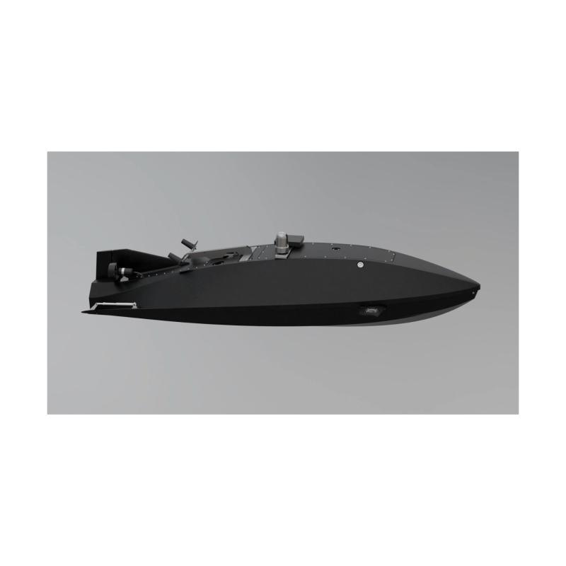
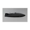
arrow_backTo the overviewThis is a hybrid unmanned surface and underwater vehicle (USV/UUV) designed for fully autonomous missions in GPS-denied and electronic warfare environments. It is capable of performing strike, reconnaissance, engineering, and special operations missions – both above and below water.
USE CASES:
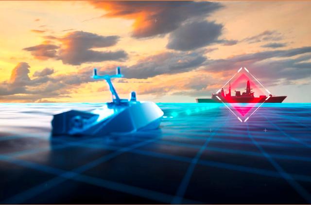
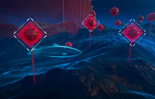
1. SEA DENIAL - Mine deployment / clearance. Intercept enemy vessels. Jam enemy communications. Be present in contested areas at a lower cost and risk than deploying manned vessels without escalating to higher levels of conflict.
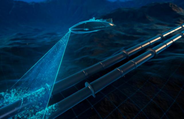
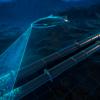
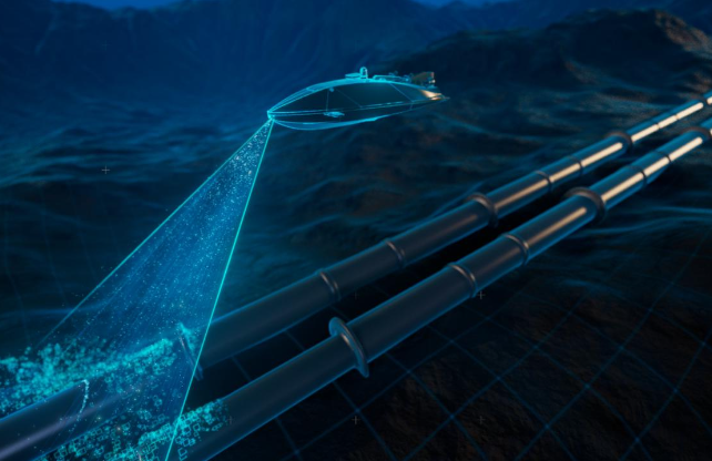
2. SEA / INFRASTRUCTURE EXPLORATION – Explore sea / track environmental conditions. Monitor underwater infrastructure (pipelines,cables) / detect anomalies/defects using AI. Watch dog: increase frequency/accuracy of inspections and reduce human risk/operational costs.
3. SEA CONTROL – Autonomous sea patrol. Gather intelligence/track ships and submarines. Retranslate radio signal.
4. AUTONOMOUS PATROLLING – Intelligence gathering/tracking of vessels and underwater vehicles. Signal relay. Monitoring the condition of underwater infrastructure (pipes, cables) – automated inspections with AI analytics.
5. PORT AND TRADE ROUTE PROTECTION – Patrolling port areas in autonomous mode with the detection of suspicious activity. Protection of civilian vessels and infrastructure from UAV or sabotage group attacks. Object recognition via AI and immediate response through communication with a command center.
6. CRISIS RESPONSE SOLUTIONS – Use of the drone as an autonomous rescue module. Rapid deployment in emergencies for assessment and observation.
7. DETECTION OF SEA MINES AND DEMINING OF WATER AREAS – Autonomous navigation in potentially mined areas using hydroacoustic sensors (sonars) and noise background analysis, AI-based threat classification, recording mine coordinates, capability to deliver an underwater detonator or a marking beacon.
8. HYDROLOGICAL RECONNAISSANCE – Creation of detailed underwater maps of deep-water zones, shipping channels, and potential engineering construction sites. Data collection on seabed relief, currents, temperature, and salinity – for naval planning.






This product can be seen at the exhibition.
This product can be seen at the Exhibition

This product is added by:
MITS INDUSTRIES
MITS Industries is a next-gen defense company that brings together high-performing Ukrainian manufacturers into a single platform designed to build, scale, and deploy systems proven in real battlefield
conditions.
The company was formed by SIGINT manufacturer Infozahyst, with over 20 years of experience; electronic warfare systems developer Unwave; and a defense-focused Ukrainian-American investment group, MITS Capital. This foundation combines combat-validated Ukrainian technologies developed through rapid iteration and direct battlefield feedback with Danish governance, industrial capabili