BLUE EYES – Edge AI Detection System
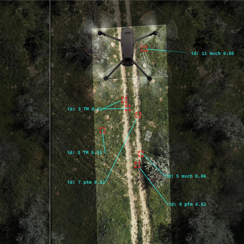
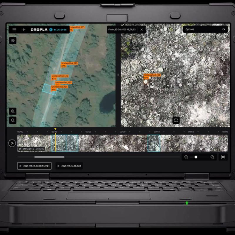
arrow_backTo the overviewBLUE EYES is a ruggedized edge AI system designed for real-time battlefield perception in GNSS-denied and contested environments. The system processes live video directly at the tactical edge, detecting concealed FPV drones, mines, UXO, airborne UAVs, and other battlefield threats while simultaneously generating high-resolution terrain maps from video streams. Designed for front-line deployment, BLUE EYES operates entirely offline without cloud connectivity, remains effective in electronic warfare environments, and integrates with existing UAV, UGV and C2 infrastructures.
GNSS-FREE TERRAIN MAPPING
BLUE EYES reconstructs high-resolution orthomosaic maps directly from video without requiring GPS, RTK, Internet connectivity or onboard positioning data. Even if the aircraft is lost during the mission, recorded video can still be processed to generate an accurate terrain map for reconnaissance, engineering analysis and route planning. Typical processing time: 15–40 minutes after mission completion.




This product can be seen at the exhibition.
This product can be seen at the Exhibition

This product is added by:
MITS INDUSTRIES
MITS Industries is a next-gen defense company that brings together high-performing Ukrainian manufacturers into a single platform designed to build, scale, and deploy systems proven in real battlefield
conditions.
The company was formed by SIGINT manufacturer Infozahyst, with over 20 years of experience; electronic warfare systems developer Unwave; and a defense-focused Ukrainian-American investment group, MITS Capital. This foundation combines combat-validated Ukrainian technologies developed through rapid iteration and direct battlefield feedback with Danish governance, industrial capabili